Listing photography
12 to 15 edited stills of the property, frontage, access points, and surroundings, sized for LoopNet, Crexi, and your offering memorandum.
Best for retail, office, industrial, and pad sites
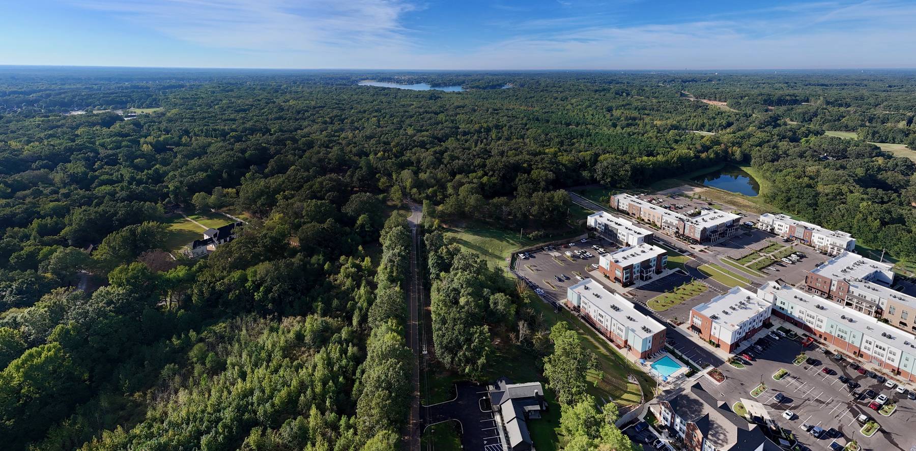
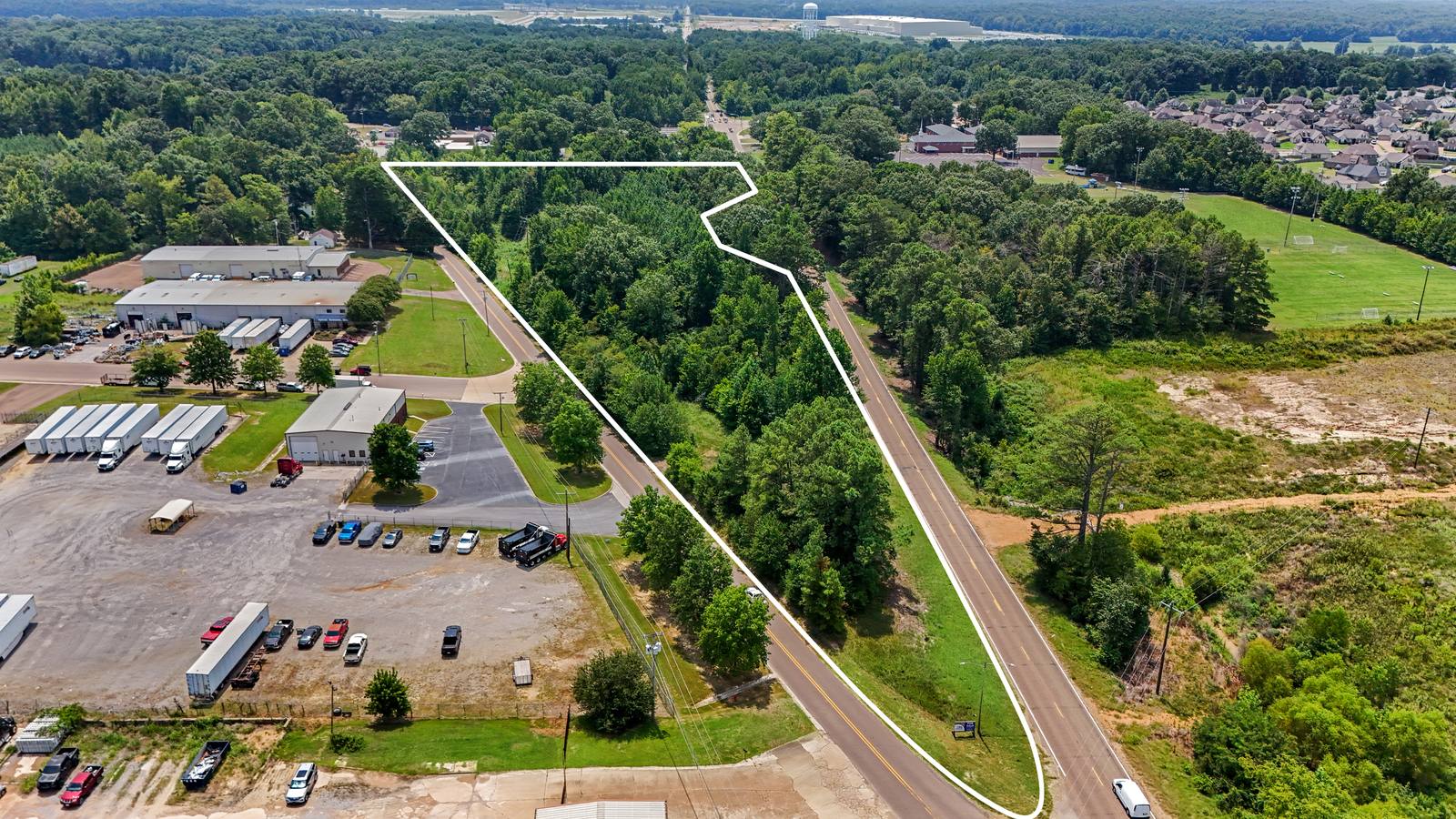
Survey-accurate parcel boundaries, 4K video, and monthly construction progress, flown by a local FAA Part 107 drone pilot.
Lakeland, Tennessee, from 390 feet
Every package is shot to the standard buyers, tenants, and lenders expect, with a commercial marketing license included.
12 to 15 edited stills of the property, frontage, access points, and surroundings, sized for LoopNet, Crexi, and your offering memorandum.
Best for retail, office, industrial, and pad sites
The recorded survey is aligned to the photo, then roads, interchanges, and neighbors are labeled, so buyers see exactly what is for sale and what surrounds it.
Best for raw land, irregular parcels, and multi-tract listings
A 60 to 90 second cinematic video with motion-tracked boundary lines and titles. 6K capture and master files are available for architects and developers.
Best for large tracts, industrial assets, and project marketing
Scheduled monthly flights from the same positions and heights, so owners, lenders, and project teams can compare progress side by side.
Best for general contractors and owners managing projects remotely
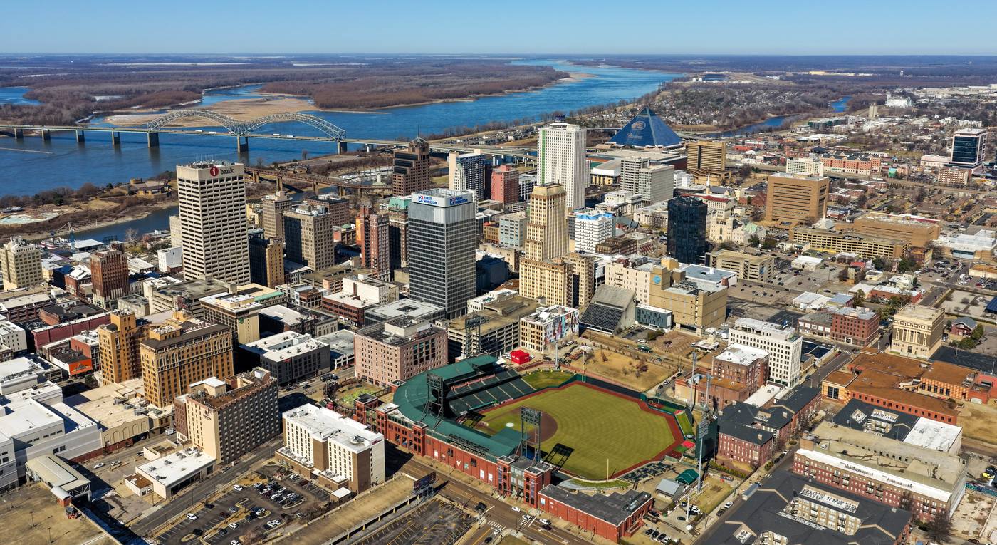
Bluff City Aerial is based in Memphis and owner-operated. You work directly with the drone pilot who plans the airspace, flies the site, and delivers the files, not a national network sending whoever is nearby.
Photos arrive within 48 hours of the flight. Video delivery dates are confirmed when you book.
Text or email the property address, the acreage, and what the listing needs.
You receive an airspace check, a shot plan, and a fixed price the same day.
Flights are timed for the best light, with launch points planned around trees and terrain.
A download link with finished images and video, ready for your listing and marketing.
Each video opens on YouTube. More on the Bluff City Aerial channel.
Yes. Any drone flight for a business purpose, including real estate listings, requires an FAA Part 107 Remote Pilot Certificate. Every Bluff City Aerial flight is flown by an FAA Part 107 certified drone pilot with more than 500 flight hours.
We fly commercial jobs with the property owner's or listing broker's authorization, follow FAA Part 107 rules, and plan launch points from public right-of-way or with permission. Near Memphis International and other controlled airspace, we request FAA airspace authorization before the flight.
Every job gets a fixed quote the same day. Price depends on the property size, the number of edited photos, and whether you need parcel boundary overlays, 4K video, or a recurring construction progress schedule. Call or text 901-497-5656 with the address for a quote.
Edited photos are delivered within 48 hours of the flight. Video delivery dates are confirmed when you book.
Yes. Every commercial flight carries $1 million in liability coverage. Certificates naming the broker, owner, or general contractor as additional insured are available at booking.
Memphis, Germantown, Collierville, Bartlett, Lakeland, Arlington, Cordova, Millington, Southaven, Olive Branch, West Memphis, and Fayette County. Travel beyond the metro area is available.
Call or text Forrest directly, or send the details with the form and get a quote the same day.
901-497-5656 forrest@fmedwards.comSame-day quotes. Fields marked * are required.